Dr Rachel Gaulton is a senior lecturer in remote sensing at Newcastle University.
Rachel’s research uses ground, airborne and satellite remote sensing technology to monitor the health and structure of vegetation, particularly forests and the agricultural environment.
She completed postdoctoral researcher roles at the University of British Columbia and University of Salford, before joining Newcastle University in 2011.

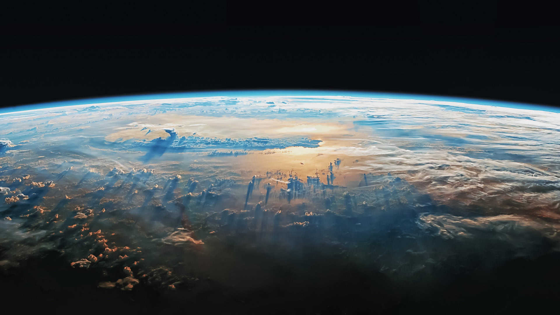
Remote Sensing is a science focused on obtaining useful information about the state of our planet from images or data collected at a distance from the Earth’s surface, such as those taken from satellites. My research isn’t focused on putting satellites into orbit, or on looking out into space (although many of the technologies are similar to those used in astronomy or studying other planets), but instead in looking back at Earth and working with the data satellites collect to make maps and identify changes in our environment.
My original background was as an ecologist. But I was particularly interested in better understanding changes that were occurring in forests across different scales and the impacts of these on forest management and conservation. I found a PhD opportunity at Edinburgh University focused on UK forest management and how remote sensing technologies on aircraft could allow better monitoring. I then did a postdoc in Canada, predicting forest growth under a changing climate and detecting wildfires and other disturbance events from satellite data.
Nowadays, I use a lot of different methods in my work, but with a focus on technology and how data from aircraft and satellites can allow us to quickly map and understand change across landscapes in ways that are otherwise not possible. Remote sensing is quite fundamental to our understanding of the global system and the likely impacts of climate change, for example letting us see the break-up of ice sheets in Antarctica or the amount of deforestation in the Amazon rainforest.
But it also allows us to study places closer to home, such as our UK woodlands and peatlands, and by using information revealed by wavelengths of light that our eyes can’t see, to measure things that might otherwise be hidden. For example, we can use images collected using infrared light to measure the amount of leaves in tree canopies and how much water is in the leaves. This data helps us detect drought impacts or diseases at an earlier stage. Examples of my current research projects include using drones and satellites to map tree health in woodlands in Norfolk that have been affected by ash dieback disease and storms, and mapping pasture biomass with radar satellites, which allow us to see the ground even when it is cloudy (a common UK problem!).
There has been a big shift in the sorts of technology that are in space over recent decades. Constellations of small satellites provide daily data with a high amount of detail, and new technologies have become available, such as laser instruments mounted on satellites and the International Space Station (the aptly-named GEDI instrument run by NASA), with which we can now measure the height of forests around the world. This is opening up a wide range of new applications across different ecosystems and scales, allowing regular and reliable monitoring and informing environmental management.
Remote sensing is quite a wide-ranging field drawing on many different skills. We have students coming from backgrounds in ecology, physics, computer science, mathematics and more, but most have a strong interest in the Earth’s environment. There are so many agencies and companies that use it in a variety of ways. You can be more applied, or work in more technical areas such as sensor development or developing new computing methods.
We can use these space technologies to look at the land, the atmosphere, the oceans and even below the ground surface, giving us a better shared understanding of how the environment is changing and providing insights and views of our planet that can inspire and provide a powerful environmental message.
